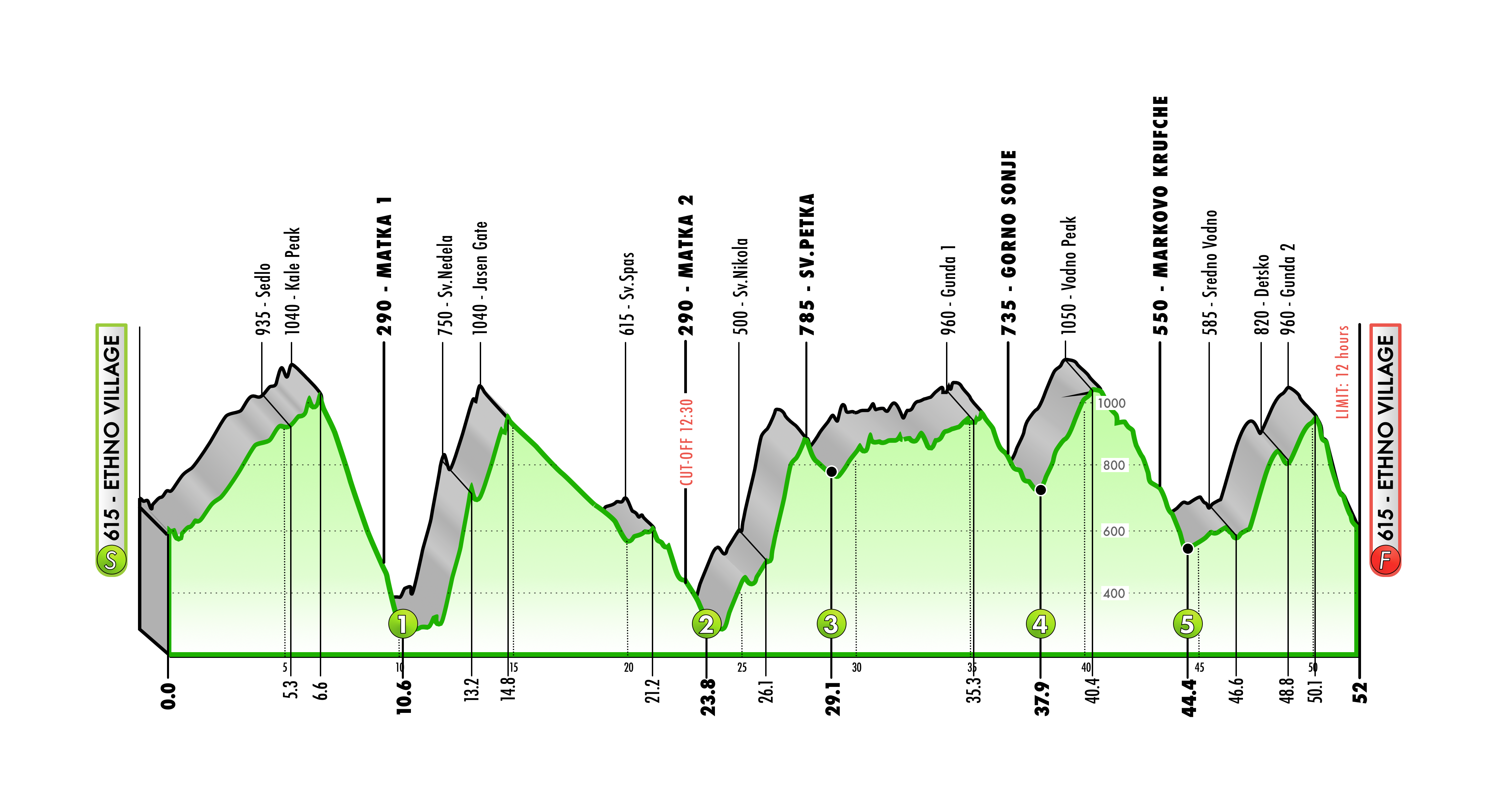
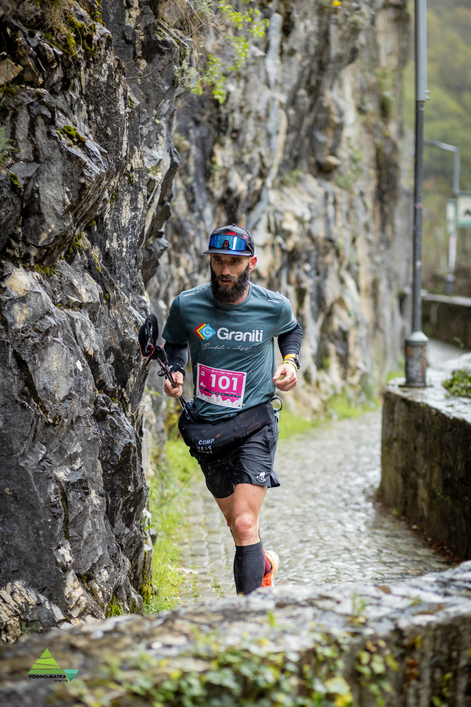
The Ultra distance of 50 kilometers starts at the Makedonski Selo complex in front of the Ethno Museum. From here, runners follow the asphalt road past the St. Panteleimon monastery and through the village of Gorno Nerezi. Immediately after the mosque, from the main road, you turn left on a narrow asphalt path steeply upward between the houses to climb toward the ridge of Vodno and the peak Kale (Kota) (6.6km) following a combination of gravel and single-track, narrow forest path. From Kale peak, you descend steeply downward, i.e., continue straight westward toward Matka along the western ridge of the mountain — a combination of technical winding descents to the Kayak Bridge at Matka (the first refreshment station at 10.6km).
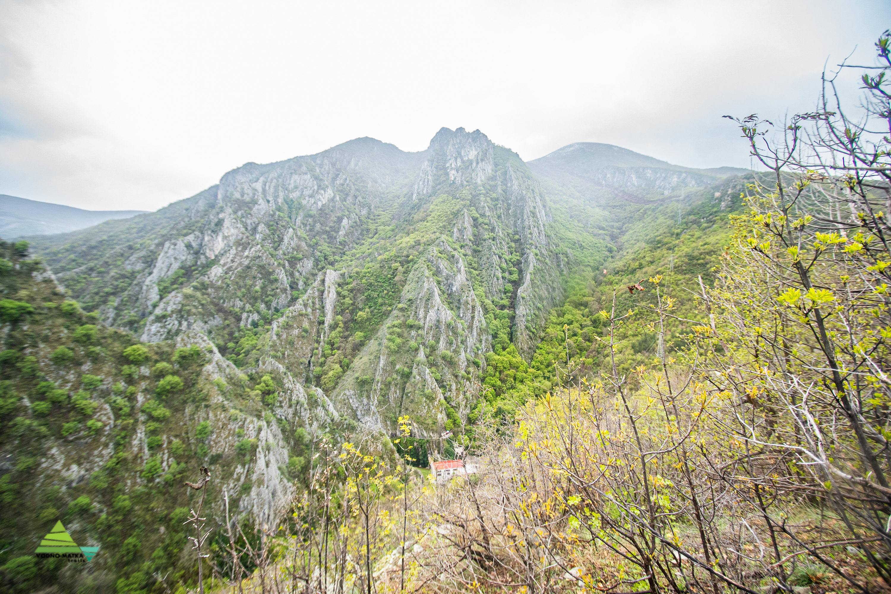
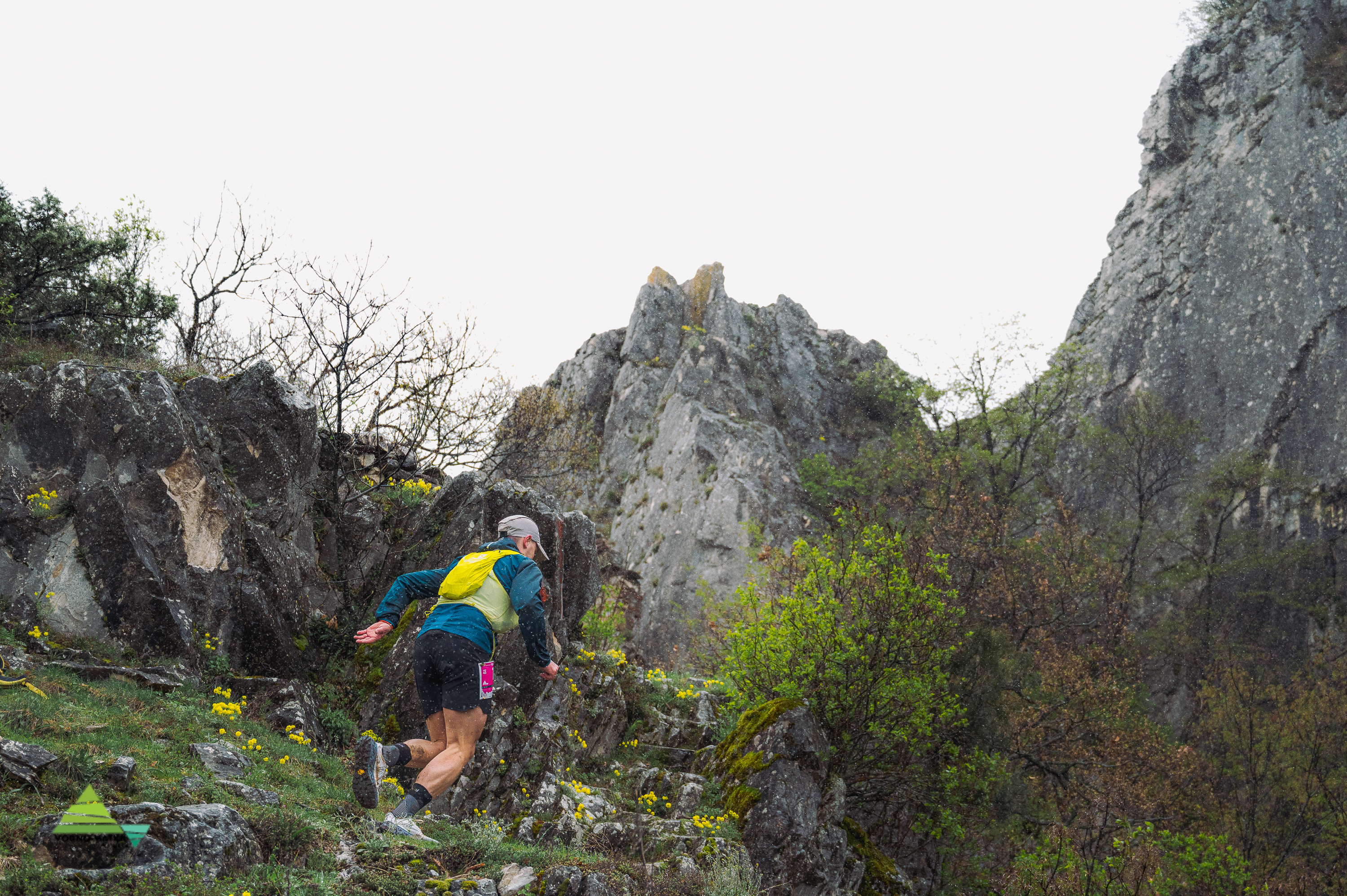
From there, in the opposite direction along the Treska River, you run toward the dam, then along the narrow carved cobblestone path by the lake, and at the St. Andrea church you turn right and upward along the steepest segment of the race toward the ruined St. Nedela church (13.2km). From St. Nedela, you descend a hundred meters along a technical path, then turn left and immediately climb upward through beech forest to the gate of the Jasen reserve (14.8km). From there, you continue downward along an old and narrow asphalt road, which after 5km is cut short by a trail path and then exits onto a gravel road that leads almost to the St. Spas monastery. A hundred meters before the monastery, you separate left from the gravel onto a single mountaineering path and descend again to the kayak bridge at the same Matka 2 refreshment station (23.8km). The time limit to exit this station is until 12:30, which is 5 and a half hours.
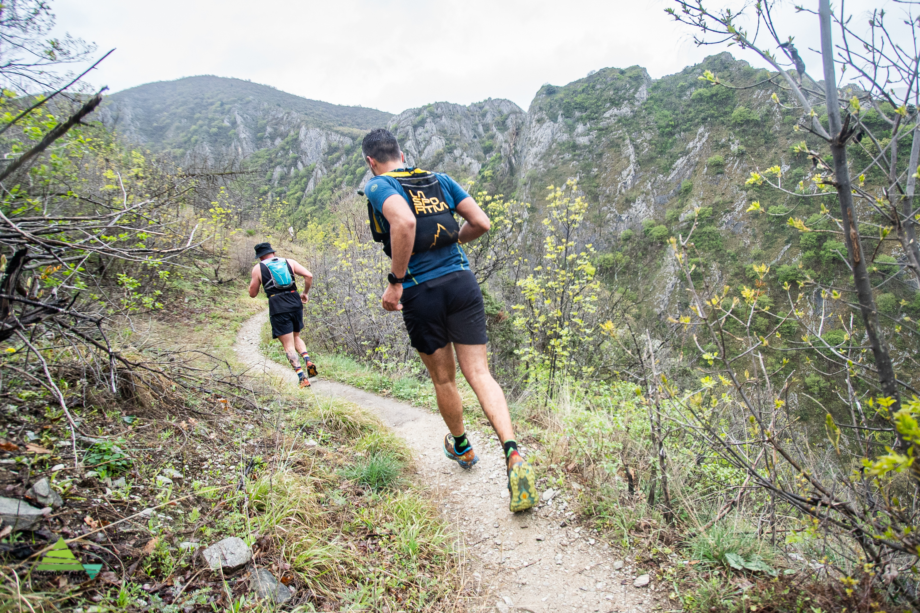
From Matka, you climb toward the St. Nikola Shishevski monastery and then steeply upward to a meadow on one of the southern ridges above the village of Sv. Petka, from where by turning right (southward) you gently descend along a narrow grassy meadow to above the village where the third refreshment station is located (29.1km). After Sv. Petka, the route gently climbs toward the ridge and the Cross along a gravel road, up and down, which in places turns into a single track with red earth. You reach the saddle (where the excavators were) and first climb to the small peak, then through a narrow forest path you exit onto the gravel road along the gas pipeline. Through the bunkers, you cross to the left onto the beautiful forest path called Gunda.
At 35.3km there is the Gunda 1 junction where you turn upward to the right, briefly exit onto the gravel road (gas pipeline) on the ridge - cross over and separate to the left into a narrow single track path heading south toward the village of Sonje. Follow the path and after less than a kilometer turn left, and after a few km descend between the houses to the middle of the village of Gorno Sonje where the fourth refreshment station is located (37.9km). From there, past the repeater and through coniferous forest, climb again along a gentle-steep and wide mountaineering path, this time toward Vodno peak (Krstovar) (Millennium Cross).
At the peak, you don't go through the lodge but continue along the asphalt road, then take a shortcut after the curve near the military base, and after a hundred meters separate to the right to the forest gravel path that leads along the ridge eastward (toward Kitka - opposite from Matka). Run along the entire ridge and descend along Babina Path to the cottages below Markovo Kuvche where the fifth refreshment station is located (44.4km). From there, along a dirt path for two km you reach Sredno Vodno and through the ramps go up the asphalt (toward the peak), but at slightly less than one km from Sredno you turn left and climb along the MTB path Chistilishte to the cottage above the Children's Resort. Descend along the asphalt past Detsko and from there turn left along a mountaineering path that leads to Bunkeri.
The path is a single track that passes by several huge boulders and gently climbs again to the junction of the Gunda path (where you turned from Bunkeri toward Sonje). That is at 50km, then turn right and downward along a single trail to the finish at Makedonski Selo. You enter from the Upper Gate (near the fountain) and make one semicircle through the complex to finally finish at the restaurant on the square (52km).